The new era of Earth Intelligence: EuroGEO 2024 Workshop
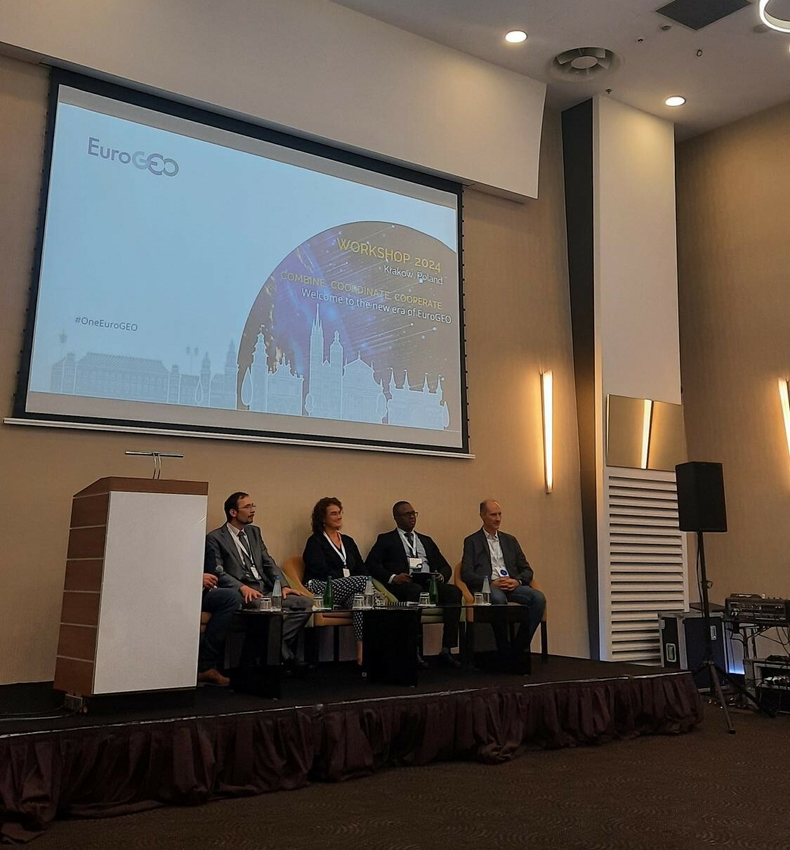
The EuroGEO Workshop 2024, held in Krakow from October 8-10, brought together the Earth observation (EO) community to structure the European contribution to the overall GEO (Group on Earth Observation) strategy. This new era for EuroGEO aims to “Coordinate, Combine, Cooperate” with national and European EO ecosystems across various sectors and domains, creating impactful contributions to GEO and leveraging international cooperation for the benefit of the European EO sector.
What is EuroGEO?
EuroGEO is Europe’s caucus of the Group on Earth Observations (GEO), a global network dedicated to building a comprehensive Earth Observation System of Systems (GEOSS). EuroGEO consolidates and coordinates Earth observation activities across Europe, leveraging resources like the Copernicus programme to address environmental and societal challenges.
EuroGEO aims to improve user uptake of environmental and Earth observation assets, enhance the harvesting of environmental information from Earth observation initiatives, and respond to specific demands for Earth observation data from governments, research and science communities, industry, and citizens. Additionally, it seeks to better integrate existing European Earth observation assets to address sustainable development goals and GEO priorities, while also integrating and upscaling existing services, including pilot applications.
To achieve these objectives, EuroGEO follows the 3Cs strategy:
- Coordination: Ensuring a coherent European contribution to GEOSS through user-driven activities.
- Combination: Integrating activities to achieve a critical mass of use.
- Cooperation: Extending beyond individual programs and user communities in Europe.
These three pillars are now building up the “new EuroGEO era”, and framed the activities, vision and spirit of the workshop days.
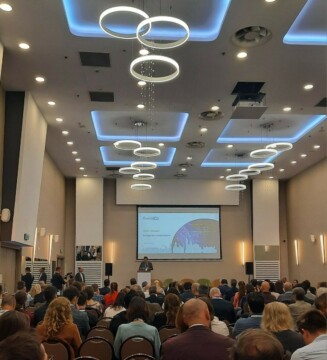
Conforming with the EuroGEO 3Cs strategy, the workshop in Krakow featured interactive sessions, panel discussions, and peer-to-peer exchanges designed to foster collaboration and innovation within the EO community and align actions with the new GEO strategy for 2025.
The GEO Post-2025 Strategy, introduces the concept of “Earth Intelligence” to emphasize the need for actionable insights derived from EO data. This strategy aims to transform how Earth observationEO data is used, focusing on providing targeted and user-driven solutions to address global challenges.
The workshop comprised nine parallel sessions featuring key Action Groups identified through mapping the EuroGEO community’s main priorities. These sessions covered thematic areas such as Agriculture, Urban Development, Energy, Marine, Climate, Disaster Resilience, and Health. Additionally, Synergy Sessions were held to combine various thematic areas, fostering cooperation and identifying contact points.
A distinct focus was put on discussions about broader synergies, highlighting the benefits of coordination mechanisms and exploring how EuroGEO can support the uptake of Copernicus services and DestinE, the new initiative of the European Commission developed by ESA, EUMETSAT and ECMWF, to create a highly accurate digital model of the Earth.
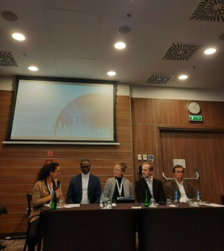
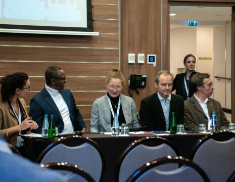
From left to right: Annalisa Donati, Ernest Acheampong, Martyna Stelmaszczuk-Górska, Emmanuel Pajot, Stanislaw Lewinski.
The session “Strengthening Stakeholders’ Engagement for Success: Empowering the EuroGEO Initiative” moderated by Annalisa Donati, Eurisy Secretary General, was a suitable exercise to understand and mobilise new perspectives on stakeholder’s engagement and youth. From a GEO perspective, Ernest Acheampong, Capacity Development Coordinator, Group on Earth Observations (GEO), delved into the importance of a Regional and National participation of the GEO community, reiterating the need to foster local engagement, and mentioning the need for a “ Collaborative co-creation of an inclusive Earth Intelligence future”. He underlined for example the necessity of a deeper engagement with National GEOs to increase participation and foster a resource mobilisation for capacity development programmes, and to support current and future flagship initiatives such as the Group on Earth Observations Global Agricultural Monitoring Initiative (GEOGLAM) and the Global Heath Resilience Service, a service aimed to help every city understand the dangers of extreme heat.
He focused then on the role of Regional GEOs in strengthening these coordination and co-creation mechanisms, especially in Asia, Africa and Europe, promoting onboarding, engagement and deepening coordination with the GEO’s Secretariat.
A big focus was also put on the necessity to engage with youth and underrepresented groups highlighting the need to increase participation of younger generations in the development and most importantly in the use of the new Earth Intelligence of the GEO strategy.
From an industry perspective, Emmanuel Pajot of EARSC emphasized the challenges present in the sector identified through the latest market analysis and surveys. These findings underscore the critical need to enhance communication between users and developers, ensuring both parties speak the same language. Most importantly he also pointed out the challenge most EO companies currently face, which is market acceptance, as well as the difficulty to find and meet new users.
Pajot also pointed out the significant difficulty the market faces in sourcing talent that meets its needs, advocating for targeted skills development within the sector.
With Martyna Stelmaszczuk-Górska, from EOTecDevnet, we explored the pivotal role of the network in enhancing collaboration in the EO training and capacity development within its community of practice, mentioning the importance of all the activities the network promotes from guidance documents, toolkits and thematic workshops. Stressing the importance of fostering the development of a collaborative framework and promoting international cooperation, she also highlighted the role and activities of theSPACE4GEO large-scale skill partnership and of the SpaceSUITE project in developing innovative educational curricula and addressing skill requirements in the space sector engaging with several European experts and partners.
Bringing the discussions to back to a national scale, Stanislaw Lewinski, Head of EO, Space Research Centre of the Polish Academy of Sciences CBK PAN, delved into national perspectives and explored the new idea of establishing local Earth Observation observatories, which could enhance skills development for students and teachers and serve as a model for implementation within the GEO community also in other countries. The following open forum provided a vibrant platform for exploring exciting projects and innovative ideas, with enthusiastic participation from local high school students interested in spatial data and applications.
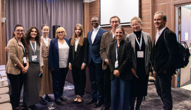
The specific session devoted to the Polish space sector was a great arena where to learn and explore synergies between upstream and downstream national capabilities of a growing national space ecosystem. Speakers showcased EO capabilities in Poland, presented existing interactions with the EuroGEO community, and discussed the way forward for a stronger engagement of Poland in EuroGEO. This session was also a unique opportunity to discuss the path towards fostered relations and engagement between the general Eastern European region and EuroGEO.
Guiding thread of the workshop, coordination and cooperation were stressed as decisive directions, especially between National GEOs. Indeed, National GEOs have the potential to act as a national coordinating organisation to ensure an efficient and continuous link between national activities, support policy needs, as well as regional and global efforts in reinforcing the EuroGEO/GEO Implementation Plan.
