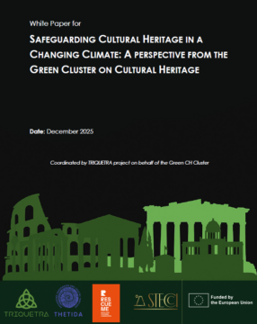
 New Publication within the Thetida project: Green Cluster White Paper – “Safeguarding Cultural Heritage in a Changing Climate: A Perspective From the Green Cluster on Cultural Heritage”
Eurisy, within the THETIDA project, contributed to the Green Cluster White Paper on Cultural Heritage, Climate Adaptation, and Disaster Resilience, developed in collaboration with the Horizon Europe projects TRIQUETRA, RescueME, and STECCI Horizon Europe Project.
The White Paper examines how climate change, natural hazards, and human pressures are affecting cultural heritage across Europe, and presents practical insights and recommendations to support more effective protection and management approaches.
Key topics include:
🔹 Use of advanced technologies for risk assessment and monitoring
🔹 Societal engagement through Living Labs and co-creation
🔹 Sustainability of project outcomes beyond EU funding
🔹 Improved policy alignment and coordination
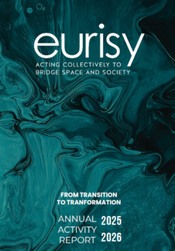 The Eurisy 2025-2026 Annual Activity Report presents the key milestones, initiatives, and partnerships that have defined our work over the past year. It reflects the continued commitment of our Members and Team, as well as the impact of our joint efforts across projects, communications, and stakeholder engagement.
 Eurisy 2024–2025 Annual Activity Report showcases the milestones, initiatives, and collaborative efforts that have shaped our journey over the past year. From groundbreaking projects and strategic partnerships to impactful communication campaigns and social media insights, the report reflects the commitment and energy of our Members and Team. We invite you to dive into the report and celebrate the achievements we’ve made together.