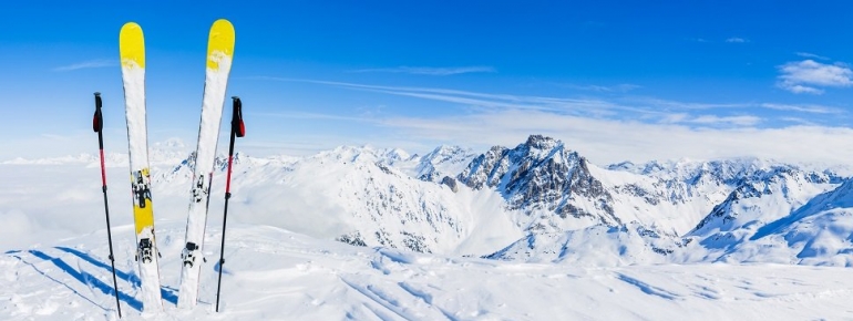
Satellites for Sports: Ski from the skies above

Over the past year, Eurisy has celebrated its 30 years anniversary. Since its inception, it has relentlessly accomplished its mission and proved to be a highly effective tool for “bridging space and society” through various channels, including the organisation of events. Everyone will agree that the recipe for a successful event is about allowing for networking opportunities or letting discussions sometimes go a little “off-piste”. This is the spirit of the series of articles that we initiate today on “Satellites for Sports”, aiming at promoting satellite applications for the sports sector in a kind of informal setting.
The information in this blog series builds on knowledge accumulated through previous Eurisy events and publications, complemented with useful apps and tools that we did no yet uncover. The objective is to illustrate how satellite applications can be used for sports in a very relatable way.
Since it is that most wonderful time of the year again, this first episode of our satellites for sports series will glide through the three types of satellite applications for winter sports. In order to benefit from these, all you need is your smartphone!
Satellite navigation is the most obvious type of application when it comes down to measuring your ski data. The European Galileo satellite navigation programme brings improved accuracy and signal availability, even when there is no road or path trace, especially in hostile environments such as forests or mountains. With an accuracy of up to one metre, the European Geostationary Navigation Overlay Service (EGNOS), complementary to the Global Positioning System (GPS) of the United States, provides even more precise mapping and location. There are plenty of apps that allow you to track and compare all of the stats regarding your or your friends’ speed, total distance, routes taken, elevation, airtime, time spent on lifts and calories burned. Typically, these apps run in the background so they will not drain your battery while out on the mountain. Other apps, for example Mountain Hub, offer the opportunity to geo-tag locations. This can be the case for safety reasons such as possible concerns and hazards, but also for practical reasons such as to tag items like your parked car, or just to share an amazing view. While most of the apps are free, some of them charge a small fee per mountain that you download.
Satellite navigation can also be a potential life saver. Whether you go on a hike, climb or ski trip, satellite navigation systems enable persons in distress to share their position with the emergency response centre or rescuers, allowing help to arrive sooner. Forgot to download an emergency app? No problem, since satellite navigation receivers are integrated into smartphones, you can be localised at all times for security reasons with the Advanced Mobile Location (AML). AML is not an application, its functionality is automatically activated when an emergency call – to 112 in the European Union or to any other national emergency number – is detected inside a mobile phone. As Europe’s Galileo constellation is expected to enter into full operational capacity starting 2020, Galileo will make a considerable contribution to saving lives by improving caller location down to the metre. In the meantime, Eurisy continues to play an active role in advocating for taking up AML and facilitates cross sector cooperation. Despite the numerous benefits of AML and the technology being readily available at modest costs, only 17 countries have proceeded to implement it (as of August 2019 AML was implemented in Austria, Belgium, Estonia, Finland, Ireland, Lithuania, the Netherlands, Malta, Slovenia, Denmark, Sweden, United Kingdom). The European Commission contributes currently to this development by financing AML deployment in Germany, France, Croatia, Hungary and Portugal.
In addition, there is also location-based equipment for outdoor sports, such as personal emergency beacons allowing you to communicate your precise position in case of distress. If you are taking a trip to Switzerland you can download the app RetteMi.ch in order to send an accurate location to any emergency call centre in the country. Alternatively you can go for the Mammut Safety app which has been put out by the Swiss mountaineering company in an effort to keep all skiers safe on the mountain. The app shows your location, includes bulletins of avalanches, and has an option to make an emergency call if needed.
The lack of connectivity in mountainous regions is a lingering issue. This is where the second type of satellite applications comes in, as in remote areas, especially in the mountains, communications by satellite can be a relevant solution. Whereas geostationary satellites will not provide a signal in a valley or on the wrong side of a mountain, a fleet of low Earth orbit satellites can. Satellite communication can enable emergency calls to be made from regions that would otherwise not have mobile coverage.
Finally, Earth observation satellites help to keep maps up to date, monitor snow and avalanche danger, and provide unique information about the terrain. The Italian organization for mountain rescue and speleology in the Alps, uses a system based both on images and on satellite navigation in order to support its rescue missions in sometimes hostile environments. On the ski piste, Earth observation data allows you to download maps of the slopes. Fatmap for example is a 3D skiing map which uses high-resolution satellite images.
If you really want to go all the way, you can even monitor the skies for Santa’s sleigh with the Santa Tracker website provided by the North American Aerospace Defense Command.
Eurisy wishes you great and safe holidays!
This blog article was based on our previous events and publications:
Outdoor Sports Surfing Avant-garde satellite solutions
Satellite Applications for the Alps
Satellite Applications for the Alps, Search and Rescue Edition
In space no one can hear the policy gap: barriers to wide scale adoption of satellite based services in Europe
