Monitoring and valuing the European geological heritage: operational uses of satellite applications
 Geological and landscape diversity is an essential part of the European culture. It characterises our rural and urban environments and offers the resources needed to sustain human communities. To monitor and protect geological heritage, back in 2003 the European Parliament stressed the importance of harmonising analytical methods to obtain comparable soil data and of increasing the exchange of information among Member States on soil, topography, structure and natural form of the land in Europe (European Parliament, 2003).
Today, satellites offer the opportunity to collect and access geological and biological information covering large areas, including urban, rural and natural environments at the micro and macro regional levels. On their own initiative, or within European and national schemes, local and regional managers are already using satellite services to monitor, protect and promote geological, landscape and biological diversity. To disseminate the results of these initiatives is fundamental to capitalise on experience to develop new services adapted to local needs, and to set the basis for the establishment of an integrated coherent system to manage geodiversity in Europe. Eurisy, a non-profit association of space agencies, works to foster awareness of operational uses of satellite applications in this and other sectors. Paper presented at the 12th European Geoparks Conference, Cilento and Vallo di Diano Geopark, Italy, 4-6 September 2013.

 Eurisy’s Position Paper 2012 recommends that operational satellite solutions whose benefits are proven through end-users’ experience, and which help fulfil European policy obligations, should be referenced in European Directives and Regulations, as well as in European transversal funding schemes.
 Case study observations confirm that the merits of the technology alone, and a technology-driven approach does not necessarily convince the user to adopt this new technology. Similarly, top-down measures to stimulate take-up are not sufficient unless they are accompanied by grassroots support to the potential end-users in their appropriation of these tools. Such support should be based on a better understanding of their operational needs and the economic realities on the field. Cooperation between early adopters and potential end-users on a peer-to-peer level, relationships between potential end-users and technologists that are based on a real business case for service use as opposed to service development, as well as political drive on all levels, including sub-national, are all crucial factors in bringing about the kind of social change that translates an effective penetration of the satellite services within society. Paper presented at the
  Satellites Going Local is a collection of non-technical examples of pioneering cities, regions and SMEs who use satellite services operationally. Following the success of the first edition of the publication, over the first half of the year, Eurisy has been working to find fresh examples for an entirely new edition 2012.
 This paper presented at the 2012 Toulouse Space Show, France aims at underlining, through concrete examples, how European cities make the most of satellite information and services, and satellite navigation in particular, to achieve sustainable urban mobility and create viable alternatives to owning a private vehicle. Without being exhaustive, the operational examples described also show how the integration of satellite information and services in urban mobility strategies benefits other policy areas of increasing importance, like health and social inclusion.
 “Satellites Going Local – 30 Regions, Cities and SMEs share good practice” is a collection of selected success stories of pioneering local or regional authorities and SMEs who have put satellite applications to work in delivering their professional goals in variety of fields such as environment, transport, health, urban and rural development, and others.
 This report evaluates the added value of satellite broadband in achieving 100% broadband coverage of the territory of Hampshire County. It is the outcome of a Eurisy case-study workshop hosted by the Hampshire County Council in Winchester, early 2011. The event brought together stakeholders from Hampshire County Council and satellite broadband experts from the European Satellite Operators Association (ESOA).
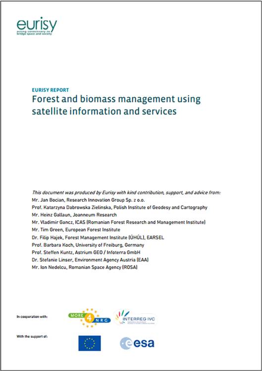 Eurisy, with the support of remote sensing and forestry experts, has produced an introduction highlighting the added value of satellite applications for forestry inventories and biomass assessments as part of sustainable energy strategies on a local and regional level. The report provides new ideas to local and regional authorities actively seeking to leverage innovation in their projects related to forestry and biomass. It includes recommendations for local and regional authorities considering such solutions.
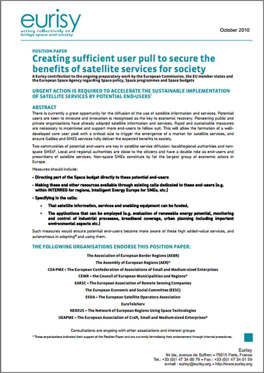 There is currently a great opportunity for the diffusion of the use of satellite information and services. Potential users are keen to innovate and innovation is recognised as the key to economic recovery. Pioneering public and private organisations have already adopted satellite information and services. Rapid and sustainable measures are necessary to incentivise and support more end-users to follow suit. This will allow the formation of a well-developed core user pool with a critical size to trigger the emergence of a market for satellite services, and ensure Galileo and GMES services fully deliver the expected benefits to society.