Opening event of the Geospatial Tools for Cities Focus Group
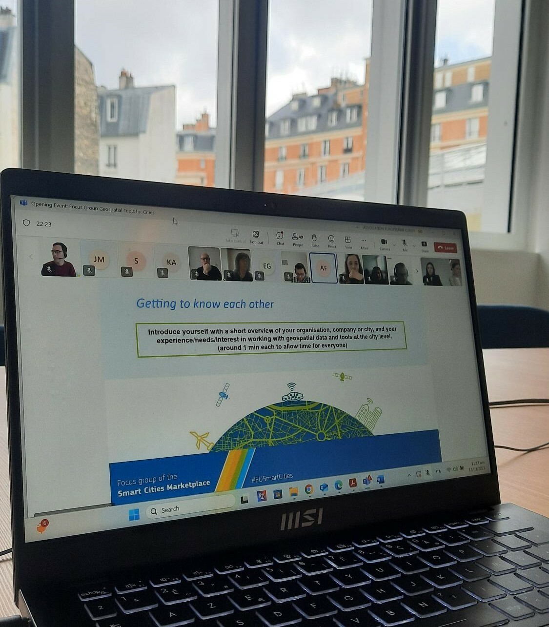
On March 13th, the Geospatial Tools for Cities Focus Group officially kicked off its activities with an online opening event.
All the participants met for the first time, engaging in dynamic and fruitful discussions about the group’s future and planned activities for the coming months. It was also a valuable opportunity to get to know each other, explore the diverse expertise within the group, delve into key topics of interest, and begin thinking about networking and collaborations.
Xavier Casanova Colomé from ICLEI Europe and Dr. Graham Turnock, Eurisy Secretary General, along with the Eurisy team, warmly welcomed nearly 50 participants and officially started the focus group’s activities. From the start, the diversity and uniqueness of the participants stood out. The group was driven by a strong curiosity to expand their networks, get to know fellow participants, learn from them, and seek advice.
Representatives from municipalities in Denmark, Finland, Spain, France, Netherlands, Ireland, and Turkey, as well as from space companies in Romania, Portugal, Germany, Italy and others presented their activities and challenges to the rest of the group. Additionally, representatives from international associations, consultants, and experts dedicated to smart and sustainable cities provided their perspectives and were excited to start supporting with their experience and expertise.
To conclude the first meeting, the participants collaboratively reviewed the timeline of activities planned for the upcoming months and gained a detailed overview of the focus group’s objectives and the ultimate mission of this collaboration.
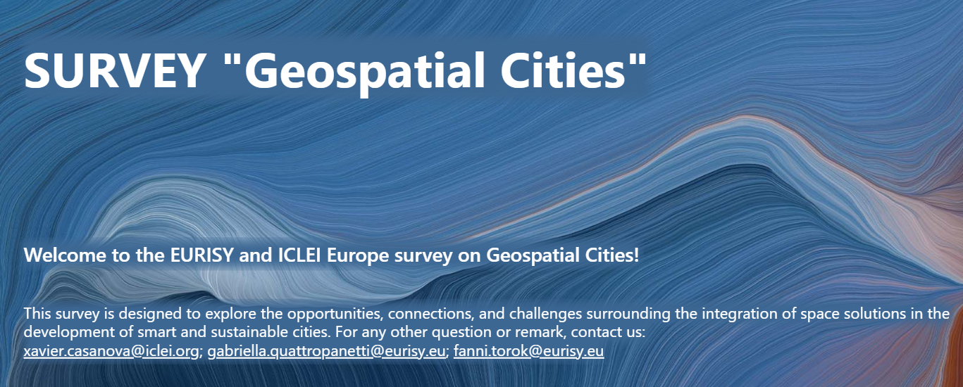
The group was also introduced to a key tool, a comprehensive survey which will be central to the project’s activities and outcomes, designed for both the participants and the broader community involved in geospatial tools for cities.
The survey aims to gather and analyse insights from three identified entities: users, providers, and third-party entities, and it will explore the benefits, challenges, ideas, and recommendations related to geospatial tools for smart and sustainable urban development.
These data will be crucial in assessing the current status of the topic and will serve as a key element in developing the final report containing recommendations and guidelines, that will be presented to the Smart Cities Marketplace of the European Commission and the broader space and urban development communities.
What a fantastic start for the focus group! We look forward to continuing this exciting journey and collectively fostering the connection between space solutions and smart, sustainable cities.
Are you a city representative or do you work with a local administration?
How much do you know about satellites and space solutions and their role in urban contexts?
We want to learn more from you! Complete our survey and help us gain more insights on the topic!
To learn more about the activities of the focus group: Geospatial tools for Cities Focus Group
Contact us on eurisy@eurisy.eu for any question related to the focus group.