Climbing the value chain with satellite data

Cycling has many benefits for society and our health. It offers an important alternative for crowded public transport and a good way for some physical exercising, even from home. With satellite imagery and the widespread of GNSS wearables, space applications enable a better cycling experience both outdoors and indoors!

Read more

GIS4Schools: Improving STEAM Education in Secondary Schools

The improvement of STEAM education in Secondary Schools is the core objective of the Erasmus+ funded project “GIS4Schools”. Pupils will learn about GIS technology and how to use it to respond to climate change challenges. The project gives them the opportunity to use satellite data, provided by the European Earth Observation Programme Copernicus EU, at school.

Read more

A talk about concrete uses of satellite data and services to support cities

In this brief overview we collect the main opportunities and challenges related to the uptake of operational satellite-based services in cities as presented by the different speakers during the workshop "From innovation to operation: a talk about concrete uses of satellite data and services to support cities’ resilience and sustainability".

Read more

How satellite navigation tackles COVID-19 in sports

Just as every other sector, sports face unprecedented circumstances. However, space assets never ceased to support the industry, enabling innovative solutions both at grassroots and elite level. From remote training and performance tracking, to fan engagement!

Read more

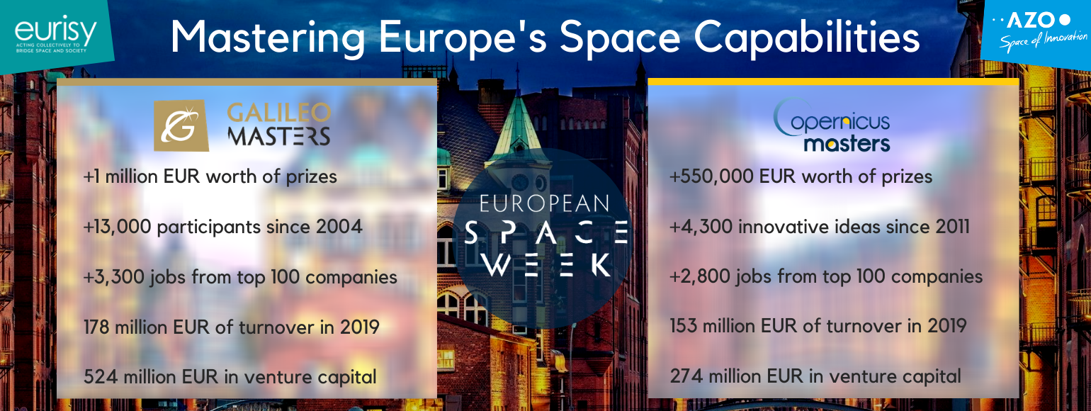
Eurisy as Regional Associate for the Copernicus & Galileo Masters 2020

As a Regional Associate 2020, Eurisy is proud to support the awarding of innovative solutions, developments and ideas that use EO and satellite navigation data to tackle challenges faced by business and society. As a regional associate we are part of the constantly growing EO community as well as the space business ecosystem.

Read more

Heritage matters and EO can do wonders to safeguard it

The Copernicus Hackathon Cork effectively demonstrated how satellite imagery can help to preserve Cultural Heritage in Europe and around the world. The event also showed that cultural heritage matters to the young European professionals working with Earth Observation data.

Read more

The Copernicus Hackathon Sofia 2020

Due to COVID-19, the Copernicus Hackathon Sofia 2020, organised by our Bulgarian member the Risk-Space Transfer Office (RST-TTO), has become a virtual one. Eurisy is supporting the event.

Read more

The strengthening of the health sector after the COVID-19 outbreak

The COVID-19 emergency is pressuring the healthcare sector and the practice of medicine all around the world. In this tough period, it is important to cast light on the unprecedented challenges posed in the hospitals to avoid putting at risk those swathes of the population (elderlies, immunocompromised, multi-pathological patients, etc.), that might be most vulnerable to the transmission of the virus. In this difficult context, telemedicine appears as a promising option for both patients and the whole sector.

Read more

Call for space assets in response to COVID-19

In our previous article “What we can learn from the Coronavirus crisis with satellite data”, we illustrated how space-enabled solutions contribute their share in the fight against this pandemic, and what satellite data tell us about the extraordinary current situation. We now hope that this overview of satellite applications may serve as inspiration in order to participate in the ongoing open calls that we list here.

Read more
Load more