Copernicus and me
Eurisy and CNES are looking for public and private organisations using Copernicus data and services to be featured in case studies and short videos. Submit your story today!
Read moreEurisy and CNES are looking for public and private organisations using Copernicus data and services to be featured in case studies and short videos. Submit your story today!
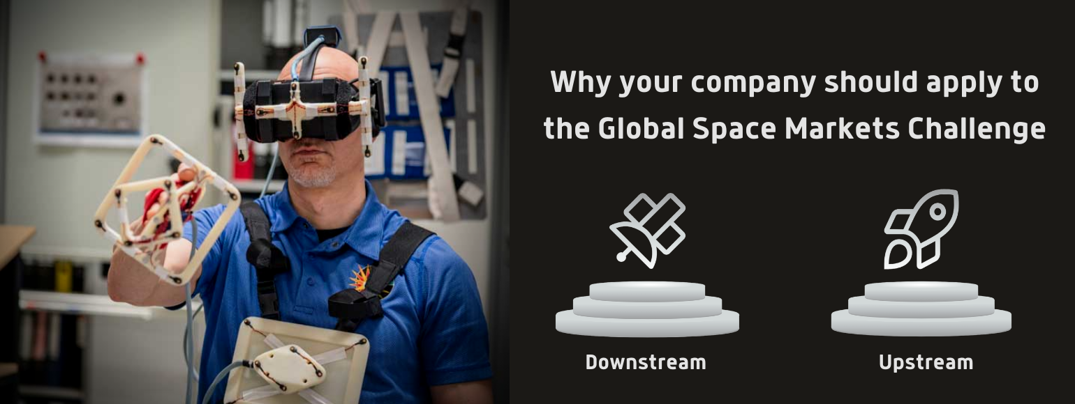
Read moreToday, ESA together with the operational and technical support of EURISY, launched its Global Space Markets Challenge. This competition is intended to be a springboard into international markets for small promising space-based companies in Europe, specialised in upstream and downstream activities.
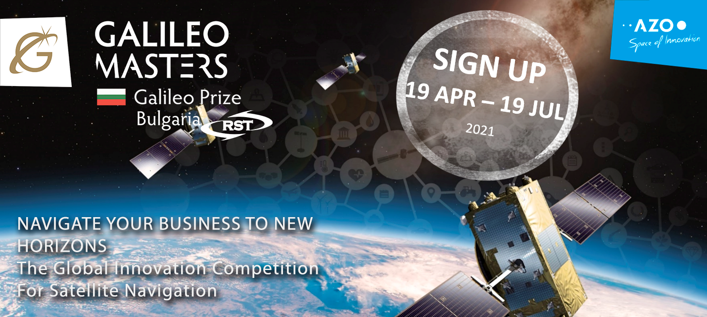
Read moreEurisy is proud to support the Copernicus & Galileo Masters 2021. Prepare and apply to the biggest Earth observation and satellite navigation competitions with your innovative and creative use of satellite data!
Read morePerformance tracking devices have set foot on all levels in outdoor team sport. Our recent series of success stories demonstrates how satellite tracking is being deployed in different sports and on multiple levels. In this highlight, we put the spotlight on the satellite component behind the trend.
Read moreEurisy recently joined as an associated partner the EO4GEO project. In the frame of this partnership, Eurisy aims at contributing to the acquisition of EO and GI skills for professionals and to stimulate the curiosity of the younger generation, also relying on the involvement of Eurisy in the Erasmus+ GIS4Schools Project.
Read moreIfremer (French Research Institute for the Exploitation of the Sea) and the satellite operator and global connectivity provider Kinéis, are launching a call for expression of interest for Internet of Things (IoT) solutions in the maritime sector.
Read moreThe GIS4Schools project is about to define the school of tomorrow! The Erasmus+ funded project aims at promoting a new innovative approach to foster the teaching of STEAM topics in secondary schools. Pupils will have the opportunity to learn about GIS technology and how to use GIS to respond to climate change challenges.
Read moreAs shown throughout this series of Space Opportunities for Climate Challenges, space can be an enabler for smart and green solutions. So how is this the case in mobility?
Read moreSatellite-based maps are not only cartographic tools, but can become empowering instruments enabling collaborative decision-making.
Read more