About the event
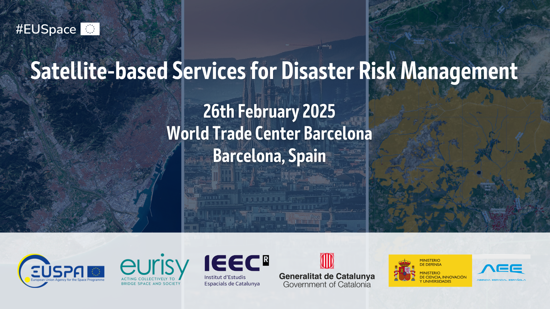
This workshop aims to raise awareness on the possibilities offered by the EU Space Programme to innovate and thus maximising effectiveness in the domain of disaster risk management. Hands-on demonstrations of national capabilities enabled by satellite data will create a common understanding among national stakeholders while further promoting their use and boosting a wider uptake. This event, is finally a unique opportunity for local stakeholders to meet, discuss and exchange about best practices and sector specific needs.
The event is part of a series of national workshops to discuss with national users the challenges faced in the integration of satellite-based services, if any, as well as the benefits appreciated. The purpose is twofold. On one hand, to raise awareness on the existing operational satellite-based services, especially how they can be integrated into daily workflows and translated into actionable information. On the other hand, develop a roadmap to smoothen the integration path of satellite-based services by providing decision makers and EU Institutions feedback on the users’ needs and challenges.
The participants will be challenged to move from the European to the national perspective and to discuss ways to improve data accessibility for disaster management.
Objectives
- Raise awareness among decision makers about satellite applications during the different phases of disaster management;
- Discuss methods to improve accessibility to satellite-based services for disaster management;
- Collect feedback from stakeholders on user needs and experiences in the integration of satellite-based services for disaster management;
- Define policy recommendations, both at national and institutional level;
- Provide the basis for a roadmap to smoothen the integration path of satellite-based services.
Programme
The introductory part of this workshop will provide a high-level address from national and European relevant policy and decision-makers. It will shed light on the national and European policy framework as well as future perspective on the field of risk assessment and management. In addition, a panel will address the services enabled by the different components of the EU Space Programme, including the Copernicus Emergency Management Service.
The first panel aims to raise awareness of satellite-based services for disaster risk management. It will focus mostly on the actual use and the integration of the information into daily workflows rather than on the technology. To sensitise authorities and local stakeholders, Romanian hands-on use cases tackling local disaster risk threats will be presented.
The second panel will bring in the user perspective. The focus will be on gathering inputs and collecting feedback from different end-user communities relying on the services presented. The identified benefits, needs, challenges, and opportunities will form the basis to discuss the way forward to streamline the process of integrating satellite-based services in disaster risk management.
Registration and Users Survey
Register now to participate! (In person only)
CLICK HERE TO REGISTER!
Do you work in the field of environmental protection?
Are you a civil security operator?
Are you using satellite data? are you planning to do so in the future?
Then make your voice heard and tell us which are the most pressing needs of your sector in terms of innovation and data or what are the current barriers in the integration you are facing by taking the survey below. It will take about 5 minutes!
TAKE THE SURVEY!
Organised by


