

This Member’s Corner aimed to showcase how visual arts and innovative educational activities can unlock the mysteries of data and make complex scientific concepts accessible and engaging for diverse audiences. As stated by Andreas Bauer, “Art not only educates, but also sparks curiosity, inviting individuals to delve deeper into the variety of topics that Earth Observation can contribute to.” The multidisciplinary aspect of Space was in the spotlight, emphasizing how this domain, which might look like the realm of scientists from the outside, is inherently present in so many other disciplines and realities. From this viewpoint, the creative sector was presented as a powerful domain where innovative interconnections between Art and Space can be developed, which could be the key to a change in perspectives, helping people understand the importance of Space in their daily lives.
Read more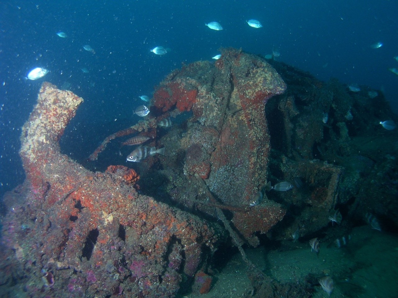
One might rightfully be wondering what a Consolidated PB4Y-1 (B-24 J) Liberator BuN 63931 (N36 59.235; W008 00.251) is? It is a US Navy aircraft that crashed in the depths of the Atlantic Ocean on the night of 30 November 1943, while the Second World War was raging. This four-engined bomber was on anti-submarine patrol deployed in the Gulf of Cadiz and belonged to VB 112 Squadron, which had just arrived at Port Lyautney (now Kenitra) in Morocco. Today, the aircraft and its crew are best known as the main actors in a riveting rescue story shared by the local population.
Read more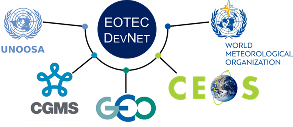
EOTEC DevNet, the Earth Observation Training, Education, and Capacity Development Network was created in 2021 to serve as a global platform to harness the power of satellite-derived Earth information, making it accessible to a broader audience. With the aim to make training and tools more accessible, share knowledge, and promote best practices, the entity strives to increase the use of Earth observation data in decision-making processes related to climate change and disaster management. By joining EOTEC DevNet, members can connect with global and regional experts, access specialized resources, influence training priorities in their region, and find opportunities for collaboration and partnership.
Read more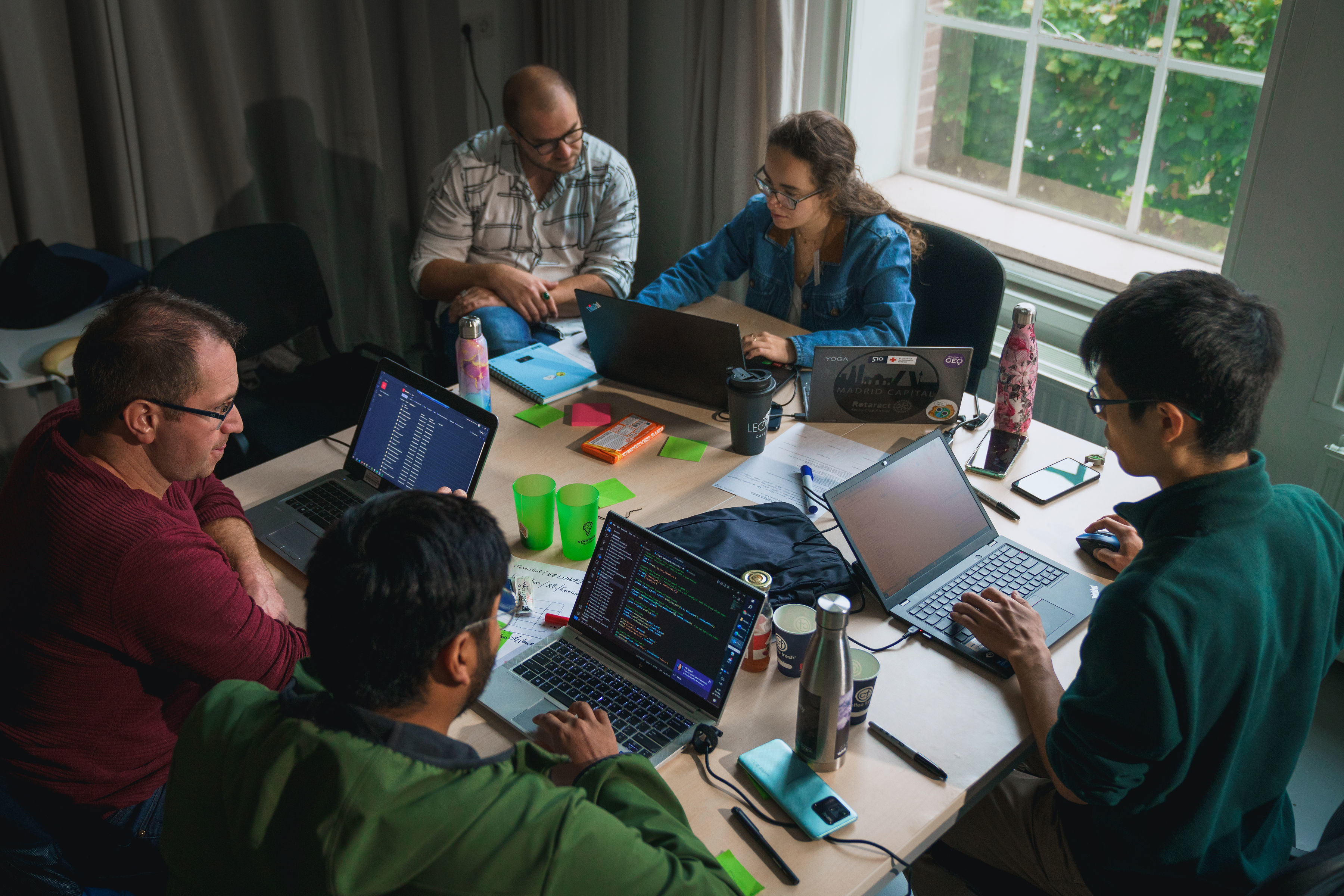
How can we use big data smartly to restore biodiversity? Five teams of experts, engineers, students and researchers pondered this question for 48 hours in the form of a Spatial Data for Biodiversity Hackathon held on 23-24 October 2023 at Ede, the Netherlands. The cooperation between Deltares, Eurisy, the Netherlands Space Office, Starthub and Wageningen University and Research allowed the teams to dive into the data for two uninterrupted days. The detective work not only yielded new insights about biodiversity in the Netherlands, but also demonstrated what role satellite imagery can play in this field.
Read more
Here is our interview series with the Secretariat Director of GEO, the Group on Earth Observations. Yana Gevorgyan explains what GEO is and what are the ambitious plans of the organisation to make Earth information available to all decision-makers working to ensure the sustainability of nature and livelihoods.
Read more
Climate change results in increasingly frequent water scarcity and drought. The protection of water resources is one of the cornerstones of Europe’s environmental policy. The European space data stream provides multiple opportunities to make our water use more efficient.
Read more
The webinar on energy and transport showcased that both sectors are inherently linked to critical infrastructure. Moreover, satellite solutions for the maintenance and monitoring of road and railway infrastructure, as well as for the safe transport and distribution of energy, support the green and digital transition endorsed by the EU political agenda.
Read more
The World Settlement Footprint provides five products that monitor the changing dynamics of urban areas. Such products help policy makers to take informed decisions to make cities more sustainable and resilient to future changes.
Read more
As the newest associate member of the European Space Agency, the Slovak Space Office intends to leverage on international opportunities to boost the development and use of space-based services locally.
Read more