Eurisy and EUSPA join forces with the Portuguese Space Agency and the Potuguese Navy for Disaster Risk Management workshop
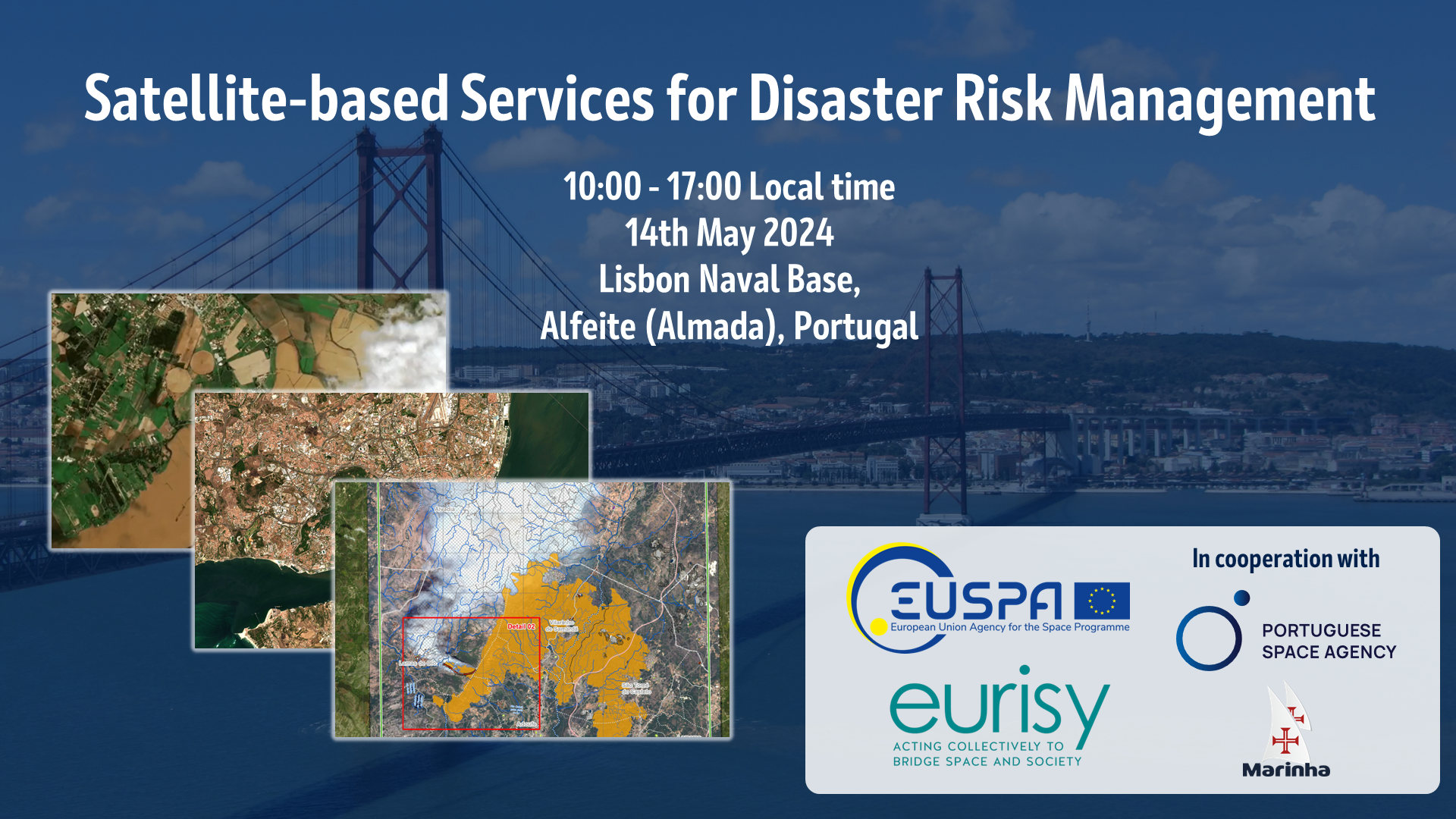
“Facts are implacable. Very few, too few political or administrative decision-makers are aware of how much satellite technology can be a valuable ally when facing disasters, natural and manmade alike.” This was how Dominique Tilmans, Eurisy President, opened the Portuguese edition of the national workshop series Satellite-based Services for Disaster Risk Management hosted at the Lisbon Naval Base on 14th May 2024. The workshop, organised by EUSPA in collaboration with Eurisy, the Portuguese Space Agency and Portuguese Navy, brought together these high-level policy makers, as well as service providers, and end-user representatives to discuss how satellite-based services could address increasing disaster risks, as well as what challenges and barriers must still be overcome to ensure effective disaster risk management in the future.
Portugal faces a range of specific, implacable, threats from climate change and other natural disasters. Wildfires are a continuous high risk even, with 35% of Europe’s fire incidents occurring in Portugal and fires accounting 20 of the 25 activations by Portugal of the Copernicus Emergency Management Service’s Rapid Mapping component. Heatwaves of increasing frequency and intensity linked to climate change also regularly impact the country, with 96% of Portugal in extreme or severe drought during June 2022, which was further compounded by record high temperaturess of 47°C a month later. This heatwave, the longest and largests in Porgual for over 80 years, would itself create the conditions for a series of wildfires. Meanwhile, earthquakes represent a lingering threat with the potential to inflict devastation on a large scale.
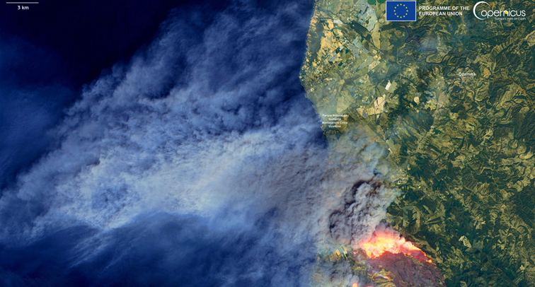
European Union, Copernicus Sentinel-2 imagery
For each of these, and other disaster risk types, satellite technologies have the potential to provide crucial information and support across all phases of the disaster management cycle. How satellite data can be translated into operational information, and how this information can be made available to first responders and decision makers during disaster events were crucial questions considered throughout the event. A range of national providers of satellite-based services demonstrated their capabilities to a range of disaster events in dialogue with user community representatives, who highlighted their needs and challenges implementing satellite technologies into disaster risk management work. If you were unable to join us in Lisbon, you can view the presentations here.
At the foundation of many of these services are the capabilities offered by the European Union Space Programme, including the Copernicus Programme for Earth observation, GOVSATCOM and the upcoming IRIS2 for satellite communications, and Galileo for navigation, the latter of which was demonstrated in action with a live Search and Rescue operation by the Portuguese Navy using the new Return Link Service. This service enables persons in distress in remote regions, such as at sea, to activate their Galileo locator beacon. This feature not only informs the local control centre with their geolocation within minutes, but then enables a notification to be sent back to the beacon, informing those in distress that their location has been received, and help is on the way. The exercise took place within the newly opened MRCC centre at the Lisbon Naval, base, part of an ongoing modernisation of facilities, as highlighted by Admiral Henrique Gouveia e Melo, Chief of the Navy and National Maritime Authority:
“The Portuguese Navy has made an effort to modernize its technology, recently incorporating new services to support the monitoring of maritime spaces, which will feed a command and control system to be used to support emergency management and the commitment of resources […] This workshop is an excellent opportunity to present high value-added space component services, fostering discussion around these technologies and bringing together recognized experts in this field. I think it is another step towards being better prepared for the challenges ahead”.
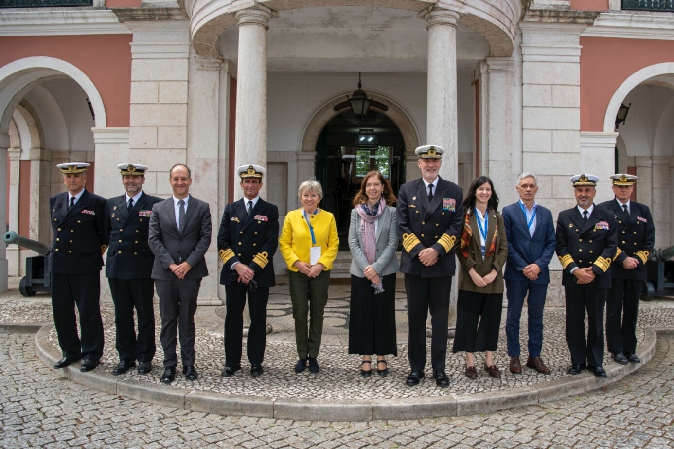
Dominique Tilmans, Eurisy President (fourth from the left) at the SAR exercise at the Lisbon Naval Base
Another important step in further enhancing the capabilities of satellite-based services in addressing disaster risk management is to not only take advantage of the capabilities of the EU Space Programme and the services they enable, but to use different capabilities in conjunction with one another. As remarked by Rodrigo da Costa, Executive Director of EUSPA, “exponential achievement is reached when all the components of the EU Space Programme are used in synergy. The Emergency Management and Disaster Response sector is one of the key sectors where this synergy is saving lives.”
Watch the Search and Rescue re-cap video below: