The role of space technology in supporting national decision-makers in disaster management. Highlights from the Satellite-based Services for Disaster Risk Management Workshop in Budapest
During summer of 2021 and 2022, Hungary experienced heavy droughts and extreme temperatures with a devastating impact on local farms and the overall national agriculture. The activation of the Copernicus Emergency Management Service in 2022 enabled the monitoring of a large (more than 1,800 hectares) and difficult-to-access burned area during the wildfire in the Pest County, thus ensuring the damage count by the relevant authorities for taking evidence-based decisions.
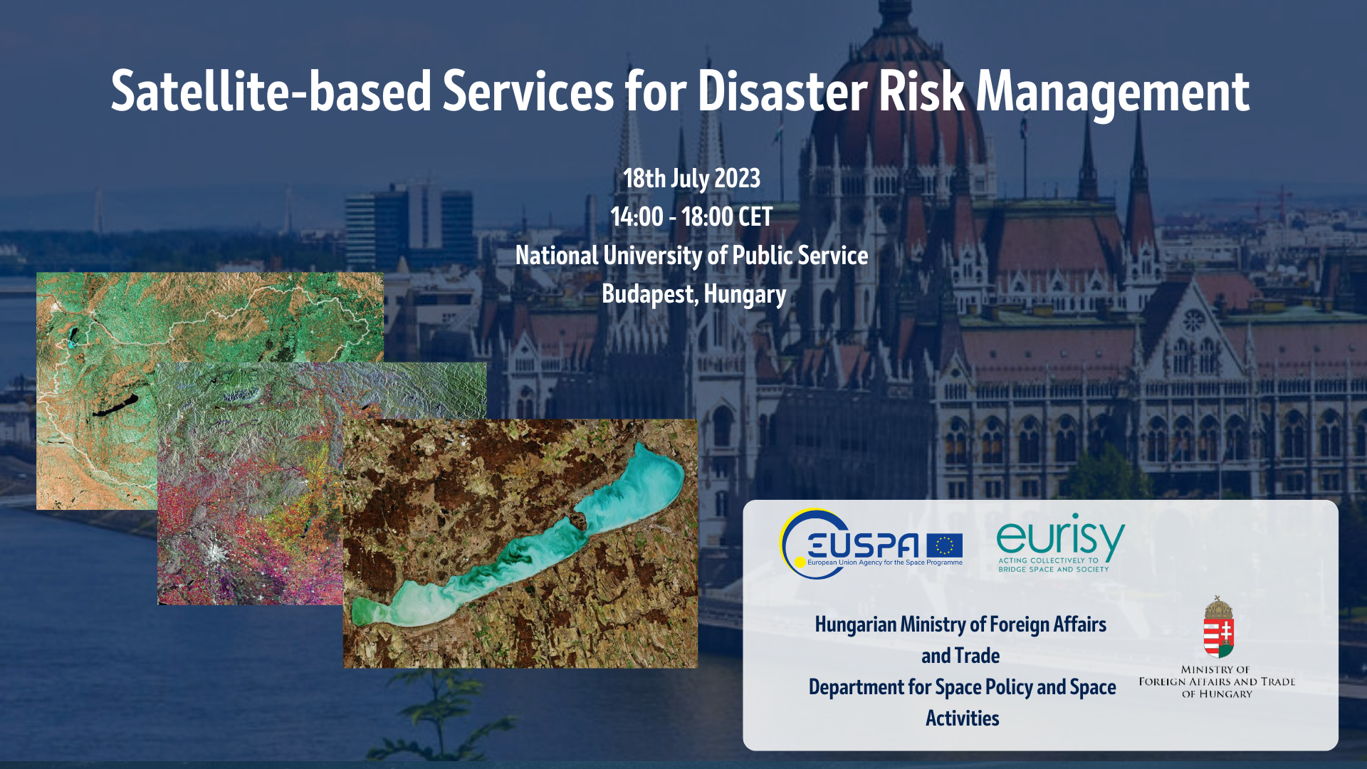
To address issues of response in a state of emergency, public authorities, researchers, civil institutions, private companies and other interested stakeholders gathered on 18 July 2023 at the premises of the National University of Public Service of Budapest to discuss opportunities and challenges related to the use of innovative tools in case of disastrous events. The workshop aimed to highlight the potential of satellite applications during different phases of disaster risk management. National actors dealing with the management of natural hazards shared their needs and experiences with the space community to streamline the process of integrating satellite-based services in disaster risk management. Representative of leading public authority in the domain of space research presented an overview of the Hungarian space strategy and outlined the milestones of its implementation.
Speaking about the workshop, Dr. Orsoyla Ferencz, Ministerial Commissioner for Space Research, Ministry of Foreign Affairs and Trade of Hungary, stated, “This gathering is important in addressing the challenges we face in emergency situations. By leveraging innovative tools and satellite technologies, we can make evidence-based decisions and better respond to disasters.”
Rodrigo da Costa, Executive Director of the EU Agency for the Space Programme presented the European perspective on the integrative use of the main components of the European Union Space Programme. “Galileo, EGNOS, Copernicus, and GOVSATCOM are powerful tools individually, but an exponential achievement is reached when used in synergy. The Emergency Management and Disaster Response sector is one of the key sectors where this synergy is saving lives”. “As an agency focused on meeting user needs, EUSPA closely monitors this market and actively develops and delivers new space-enabled services to address its requirements” he stated.
The workshop gave an overview of the role of satellite-based services in the event of natural hazards. The value of the main components of the European Union Space Programme was emphasized, underscoring the importance of addressing the needs of users in the disaster risk management lifecycle.
Annalisa Donati, Secretary General of Eurisy declared that “At Eurisy, we make sure that the benefits of satellite-based applications are well-known to help public authorities take quick and informed actions in situations of emergency. We work to understand local users’ perspective and provide decision-makers with feedback to bridge the gap between users’ needs and already available satellite-enabled solutions.”
Representatives from the European Union Agency for the Space Programme elaborated on the outcomes of user consultations on emergency management and elucidated future market trends in satellite navigation, earth observation and satellite communications. The emphasis was put on user experience, crucial for service definition and provision of the EU Space Programme. The topics of Galileo High Accuracy Service and GOVSATCOM were addressed during the first part of the technical session.
Stakeholders dealing with the management of natural hazards were invited to share experiences and identify challenges and opportunities related to the uptake of satellite data. Principle actors from the innovation sector shared best practices on how to apply space-based drones to different phases of disaster risk management and expanded on the current usage of earth observation data in Hungary. Young Hungarian space companies presented their outlook on space-enabled assets in disaster risk management to the targeted communities.
Recommendations on how to improve accessibility to satellite-based services for disaster risk management were made based on the outcomes of the questions and answers session. During the panel discussion, the state of the art in solutions enabled by satellite data was presented by the key actors in the field. Representatives from academia, public authority and service providers explored the possibilities of leveraging space-based technologies in the disaster risk management cycle and bringing customized support to the end-users.
For more information about the presentations of the speakers, please consult the Agenda of the event.
The video recording of the workshop is available below: