About the event
This workshop aims to create a common understanding among national and regional stakeholders of what satellite-based services can bring during the different phases of disaster risk management, and to facilitate the use of these services from a national to a European level.
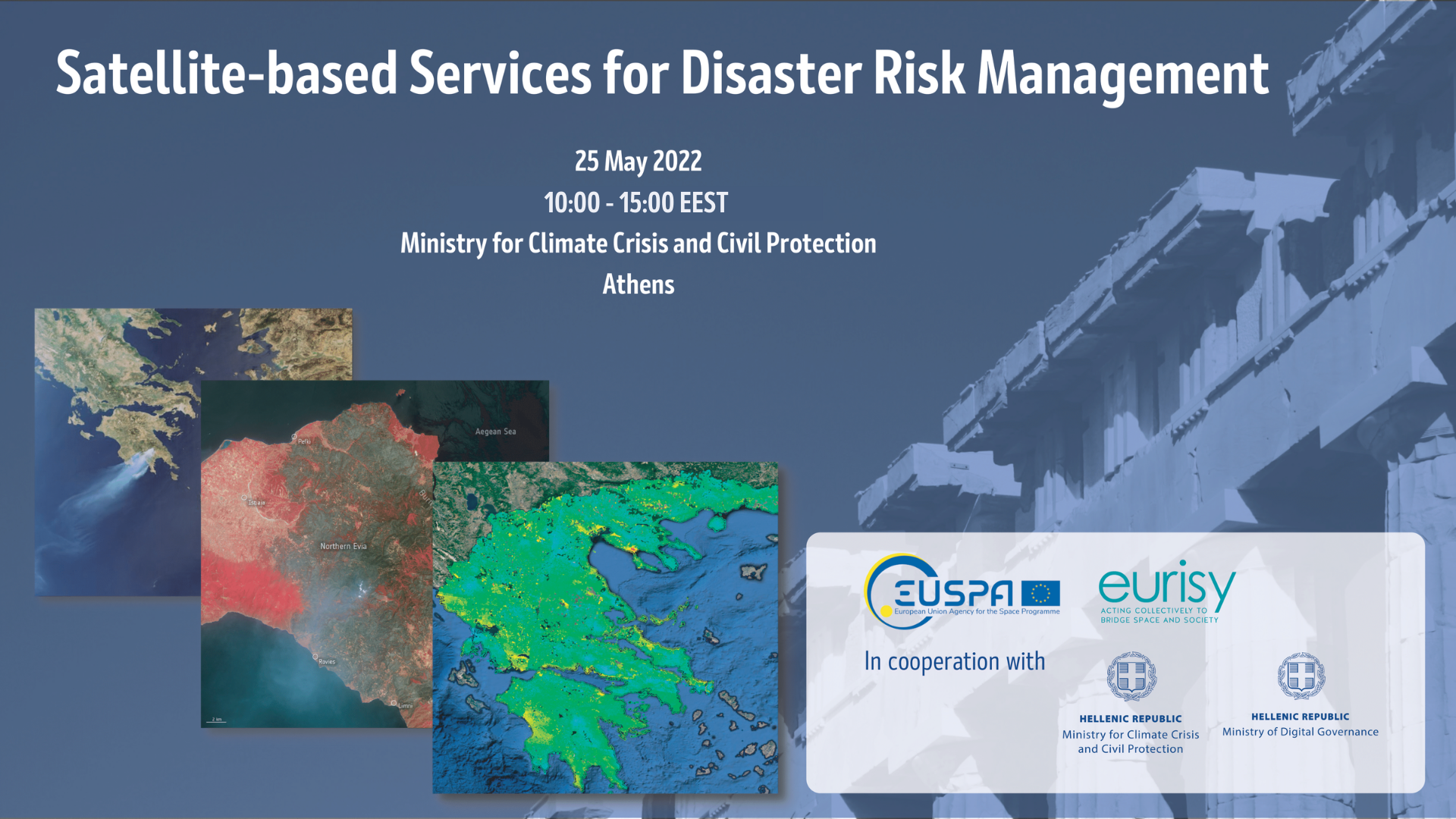
EUSPA together with Eurisy, in cooperation with the Greek Ministry for Climate Crisis and Civil Protection and Ministry of Digital Governance, is organising a workshop in Greece to present operational satellite-based services for disaster risk management. Early adopters and relevant authorities are called to illustrate the challenges and benefits stemming from the integration and use of satellite-based applications. Ultimately, participants will be challenged to move from the national to the European perspective and to discuss ways to improve user data accessibility for disaster risk management.
The workshop gathers users and national stakeholders to discuss the challenges in the use of satellite-based services, if any, as well as the benefits enjoyed. The purpose is twofold. On one hand, raise awareness on the existing and operational satellite-based services, especially how they can be integrated into daily workflows and translated into actionable information, especially with regard to Galileo and Copernicus. On the other hand, develop a roadmap to smoothen the integration path of satellite-based services by providing decision makers and EU institutional actors feedback on the obstacles users are currently facing throughout this process.
Tune in online or join us in Athens at the Greek Civil Protection premises!
Disaster Risk Management in Greece
In the summer of 2021, drought and extreme meteorological conditions sparked multiple forest fires that ravaged several countries in the Mediterranean for over a month. In the autumn of 2021, Greece was particularly exposed to floods as the forest fires had stripped away vegetation which would normally impede the flow of water and limit landslides. In addition, Greece is one of the world’s most seismically active countries.
Copernicus Emergency Management Service (CEMS) activation: From 2014 onwards, the CEMS has been activated in Greece for a total of 37 times, of which 13 activations for wildfires in 2021 alone. Apart from wildfires and forest fires, the CEMS has been activated 11 times due to floods in the country. The service has never been activated for an earthquake in Greece.
Objectives
- Raise awareness among decision makers about satellite applications during the different phases of disaster risk management;
- Collect feedback from stakeholders on user needs and experiences in the integration of satellite-based services for disaster risk management;
- Discuss methods to improve accessibility to satellite-based services for disaster risk management;
- Define policy recommendations, both at national and institutional level;
- Provide the basis for a roadmap to smoothen the integration path of satellite-based services.
Programme
The introductory part of this workshop will provide an overview of some of the local challenges and risks related to natural hazards. It will also highlight the potential of satellite applications during different phases of disaster risk management.
The first panel aims to raise awareness of satellite-based services for disaster risk management. It will focus mostly on the actual use and the integration of the information into daily workflows rather than on the technology. To sensitise authorities and local stakeholders, three Greek hands-on use cases on wild fires, floods, and earthquakes will be presented. In addition, the panel will address the Copernicus Emergency Management Service, the Galileo Search and Rescue service (SAR) and the European Emergency Number Association.
The second panel will bring in the user perspective. The focus will be on gathering inputs and collecting feedback from different end-user communities relying on the services presented. The identified benefits, needs, challenges, and opportunities will form the basis to discuss the way forward to streamline the process of integrating satellite-based services in disaster risk management.


