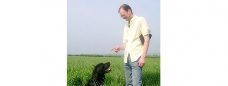
FarmerIain McMordie: reducing the use of fertiliser through satellite navigation

The Business
Iain McMordie started his business as a cereal and grass farmer in the Lecale District in Northern Ireland, and recently decided to concentrate his business entirely on the production of grass for horse feed. Up until this change, Iain was part of the Lecale buying group, a small group of local farmers who grouped their buying power in order to be able to buy goods such as meal and fertiliser in bulk at lower prices. The group has been in operation for twenty years, representing ca. 2000ha of arable land and grassland.
The Challenge
With rising production costs and falling prices, it is increasingly difficult to maintain a profitable business in agriculture. In addition, ecological considerations, in particular the use of fertilisers, introduce both production constraints and marketing opportunities, as consumers become more concerned with their choices.
Traditionally, farmers apply the same treatment of fertiliser to a field as a whole. Being able to precisely match soil needs and input was seen by these farmers as an opportunity to save on production costs and to comply with ecological constraints.
The Satellite Solution
The farmers have access to a Geographic Information System (GIS) that holds detailed, cartographic information about their land (soil type, topography, etc.) and previous applications of fertiliser. They are also equipped with a handheld, GPS-enabled PDA, used by Iain on his own land and that of the other group members, making it possible to access this information and take decisions on where and how much fertiliser to apply. The equipment provides a record of where the fertiliser spreader has been to provide traceability and to ensure the accuracy of spreading. The record is in the form of a track on a map of the spreader’s path, combined with information about quantity and product(s) used.
The Lecale group of farmers initially benefitted from the funding scheme “Increasing Access to ICT” run by the Department for Agriculture and Rural Development Northern Ireland (DARDNI), providing them with a GIS and GPS-enabled PDA. Iain teamed up with two of his peers to fund the annual maintenance costs of roughly 200£. Iain became proficient in using the equipment thanks to training provided by the College of Agriculture, Food and Rural Enterprise in partnership with DARDNI and by the service providers. A group of eight farmers now benefit from the information.
The Result
The farmers were able to repay their initial investment within six months, through the savings on fertiliser and fuel alone. Iain estimates that the group is now saving about 10% per year on fertiliser. Work rate and profit margins have increased and the records of fertiliser use help them comply with reporting obligations.
“The solution has been so successful that we now have two GPS systems and another member of the group has purchased his own equipment” Iain McMordie
