Launching Eurisy x ICLEI New Focus Group on Geospatial Tools for Cities during the Members’Day
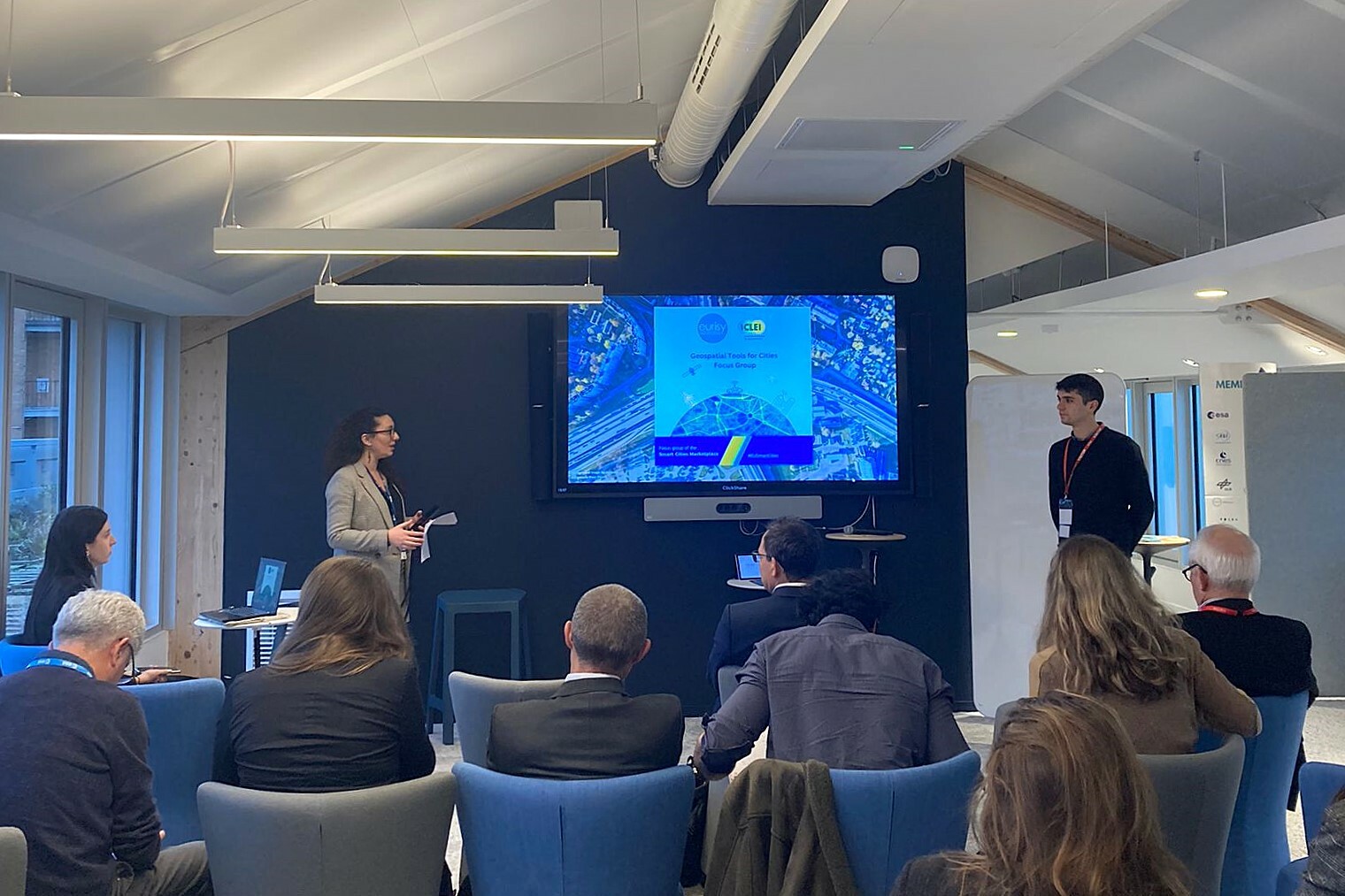
Seizing the opportunity of having gathered our community for the Members’Day, Eurisy and ICLEI organised the launch of the newly established Focus Group on Geospatial Tool for Cities. Strongly tied to Eurisy’s traditional thematic Space for Cities, the launch of the Focus Group allowed us to spark exchanges on existing satellite-enabled solutions for cities, and to showcase the work of our partners.
To maximise the benefits of the launch event, the interactive afternoon themed ‘Space for Smart and Sustainable Cities’ was divided into two different sessions, materializing the objectives of the Focus Group:
- A series of use cases presentations from our partners to highlight state-of-the-art applications and the latest research conducted to answer current urban needs.
- A panel discussion highlighting uptake challenges from different points of view, from city to industry representatives.
Kick-starting the launch event, Julen Imaña Sobrino from ICLEI Europe provided an overview of the Geospatial Tools for Cities Focus Group to our attendees.
What is the Geospatial Tools for Cities Focus Group? Between 2024 and 2026, participants in the Focus Group such as cities representatives, industry spokesperson, and satellite-enabled solutions experts, will identify and discuss current needs and priorities of cities, as well as to determine the gap(s) between users and providers preventing cities from adopting satellite-enabled solutions. The final product of the Focus Group will be a report drawing conclusions on the discussions held and on the results of a broadly distributed survey. The report will aim to provide recommendations to both city and industry representatives, highlighting lessons learned and best practices.
As later expressed by Thanh-Tâm Le (Climate-KIC Impact and Performance Director) during the panel discussion and reinforcing the value of the Focus Group by validating its objective, it is important to take into consideration imbalances between the different actors, and to address them directly.
Modelled on the structure of the Focus Group, the first part of the afternoon session started with the presentation of a series of use-cases on topics identified as critical for cities, and to be deepened during the Focus Group workshops. Among the diversity of existing solutions, attendees to Eurisy Members’Day were firstly introduced to Yann Daoulas, who presented the solutions and use-cases developed by the French company KERMAP. KERMAP works in close proximity with French cities and provides tailor-made solutions for vegetation monitoring and urban heat islands mitigation. With the solutions developed, KERMAP supports local decision-making on urban development and enables local authorities to monitor and detect any concerning changes on the urban environment.
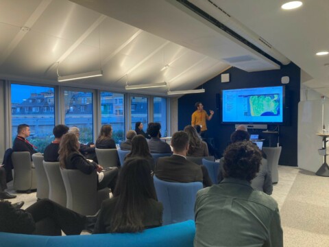
Complementing KERMAP’s presentation, Aurélie Dehouck (President of i-Sea) introduced the solutions developed by i-Sea through the use-case of the city of Bordeaux. The methodology developed by i-Sea allows for the company to support cities’ green rehabilitation by mapping biodiversity in urban environments and identifying green corridors in partner cities. The methodology and biodiversity toolbox developed by i-Sea was also used in the city of Pau and scaled up and applied to the county of Lorient.
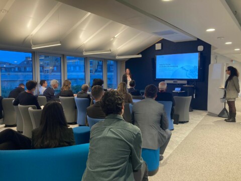
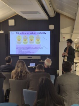
Putting the spotlight on a topic that is yet to be furthered explored, Alan Mandrillon, representing the Space4Cities EU-funded project, introduced the project’s use-case on sustainable urban mobility. He pointed out the lack of mention of space capabilities in current EU policies on urban mobility, while showcasing relevant satellite-enabled solutions and reminding the numerous innovation possibilities in the field.
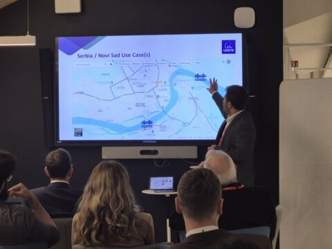
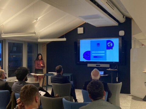
Representing the UDENE EU-funded project, in which Eurisy is involved as Work Package leader, Nikola Obrenović from BioSense Institute and Syrine Souissi from the Tunisian Space Association respectively presented the Serbian and Tunisian use-cases driving part of the research carried in the project. Both provided in-depth information on the assessment of traffic and air quality in Novi Sad (Serbia), and on the impact of a linked park system on urban heat islands in Greater Tunis (Tunisia). They complementarily illustrated the key role satellite data plays in the research, enabling authorities to scale-up to gain a general overview of the issues, and to decide on adequate solutions. Addressing one of the main concerns of non-space actors, namely the lack of accessibility of data, the UDENE Exploration Tool aims to facilitate access to satellite and in-situ data by providing a portal where users can explore urban environments similar to the ones on which they will conduct experiments and/or test and validate their urban development hypothesis.
The concern of satellite data accessibility was emphasised by Julen Imaña during the panel discussion moderated in second part of the afternoon by Annalisa Donati. As biggest emitters of pollutants, cities need to act quickly and efficiently, but they also need support to better understand the tools they could rely on, and to access relevant information and data. Thanh-Tâm Le and Alan Mandrillon, both intermediaries between cities and providers, confirmed that data accessibility remains a critical challenge for a significant number of cities. This challenge is the result of a number of obstacles faced by cities, ranging from frequently changing priorities at the local level, to a lack of capacity and skills within local governments and administrations. On the other hand, it resulted from the Open Market Consultation conducted within the Space4Cities project that solution providers anticipate a lack of commitment from cities. Representing solutions providers, Emmanuel Pajot (Secretary General of the European Association of Remote Sensing Companies,EARSC), explained that the numerous Industry Surveys conducted indicate that both start-ups and established companies face the same challenges, in line with the ones identified by previous speakers, i.e. lack of awareness from the public, limited access to data, lack of capability to integrate the data.
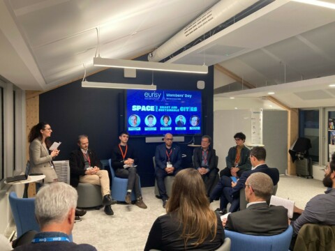
Different solutions were presented during the panel to try and facilitate access to relevant satellite data. For instance, the Space4Cities project complements the Open Market Consultation with a Pre-Commercial Procurement (PCP) to match cities needs with relevant R&D suppliers. The PCP approach was acknowledged by Thanh-Tâm Le as a pertinent tool to facilitate the dialogue among cities and providers, and for the latter to better understand the needs of the former. Moreover, PCPs are recognised to provide control and to limit risks on both sides. Dr Bahaaeddin Alhaddad (Technical Officer at the European Space Agency) presented the benefits of having a dedicated task force meeting on a monthly basis to compile cities needs and release calls tailored to the challenges expressed. Through this process, the communication among cities and providers is facilitated, and cities are supported in the development of adapted R&D. The deadline for Batch 5 of the FutureEO-1 Segment 2 Programme is 30 January 2025.
To conclude the day and to give some ground to the Focus Group for future discussions, participants to the panel were asked to share with the audience the lessons learned to overcome the challenges identified during the discussion. The main outcomes were:
- Early engagement with users is crucial to develop real services solving real problems and should be coupled with continuous improvement based on continuous feedback.
- Particular attention needs to be given to the language Indeed, potential users formulate their needs in a language different from the one used by providers.
- As cities can have trust issues, particularly when contemplating digital tools, having a reliable partner in a dedicated discussion space can help them to keep an open mind to the solutions presented, which is one of the main assets of the Focus Group on Geospatial Tools that is supported by ICLEI.
- Duplication should be avoided and cooperation among the different actors and across the different sectors favoured to complement and strengthen existing work and solutions.
As concluding words, panellists agreed that both ends of the uptake spectrum should accept that the miracle solution does not exist, at least not yet, and keep a rational and pragmatic approach to the benefits of current solutions.
