27 cloud-based Earth Observation applications come together under e-shape this summer!

Our team is embarking on a new journey within e-shape (EuroGEOSS Showcases: Applications Powered by Europe) – a new research and development project funded under the European Union’s Horizon 2020 Programme.
e-shape is an unprecedented initiative that brings together for the first time 54 public and private organisations working on Earth Observation data and cloud capabilities to coordinate Europe’s contribution to GEOSSS (Global Earth Observation System of Systems) – a global one single-entry data point that brokers more than 150 autonomous data catalogues. e-shape is however not just about data. It’s about transforming data into services for citizens, industry, decision-makers and researchers.
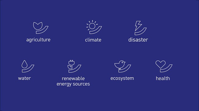
Throughout the project’s lifetime spanning 48 months, partners covering 17 European countries, Ethiopia, Egypt and Israel will work on the development of 27 cloud-based Earth Observations applications covering 7 thematic areas (food security, health, renewable energy, biodiversity, water resources, disaster resilience and climate). The diverse inventory of showcases will address topics such as, improving the accuracy of carbon emission monitoring, volcanic ash distribution, assessing the geo-hazard vulnerabilities of cities or monitoring pollution health risks in urban areas and many more. Aligned with the Sustainable Development Goals, the Paris Agreement and the Sendaï Framework the pilots will be build on open data stemming from the GEOSS and Copernicus data pools and computational infrastructure.

The goal of e-shape is not to build a new IT platform but to reveal how to take the best advantage of the existing distributed assets. As such, each individual showcase is based on existing results, applications and platforms developed through previous Horizon2020 projects. In a presently fragmented European landscape of EO services and data sets, pooling resources and capacities emerged as a necessary solution for both users and service providers. From the data architecture point of view, e-shape is in other words, a federation of open platforms and services. On this note, Erwin Goor E-shape Project Officer at EASME (Executive Agency for Small and Medium-sized Enterprises) stated that:
“e-shape can significantly increase the collaboration between European EO companies: sharing knowledge, experiences and data; building on each other’s strengths.”
Researchers, SMEs and companies that develop EO-based services in the context of the pilots, will benefit from e-shape through access to knowledge, access to markets and guidance for facilitated access to capital. All with the aim of brining these services closer to market and ensure they respond to user needs – goals that are part and parcel of our mission. Thus, through our involvement in e-shape we continue our mandate to build bridges between space and society by bringing project partners closer to user communities across Europe.
Together with our partners at EARSC ( European Association of Remote Sensing Companies) we’ll be looking to guide and equip research organisations with the right tools to create user-centric business solutions that rely both on Europe’s impressive satellite infrastructure and market knowledge.
With the project scheduled to end in 2023, make sure to stay up-to-date with the project activities and events on Facebook, Twitter and LinkedIn!
